GPXDatatype Class Reference
Inheritance diagram for GPXDatatype:
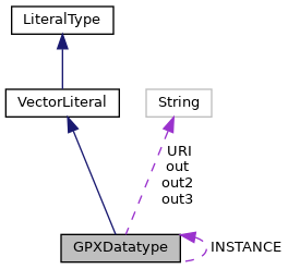
Collaboration diagram for GPXDatatype:
Public Member Functions | |
| Geometry | read (String geometryLiteral) |
| String | unparse (Geometry geom) |
Static Public Attributes | |
| static final String | URI = POSTGIS.HEXWKB |
| The default WKT type URI. More... | |
| static final GPXDatatype | INSTANCE = new GPXDatatype() |
| A static instance of WKTDatatype. More... | |
Package Attributes | |
| String | out |
| String | out2 |
| String | out3 =" </trkseg></trk></gpx>" |
Member Function Documentation
◆ read()
| Geometry read | ( | String | geometryLiteral | ) |
◆ unparse()
| String unparse | ( | Geometry | geom | ) |
Reimplemented from VectorLiteral.
String out2
Definition: GPXDatatype.java:34
String out3
Definition: GPXDatatype.java:38
String out
Definition: GPXDatatype.java:31
References GPXDatatype.out, GPXDatatype.out2, and GPXDatatype.out3.
Member Data Documentation
◆ INSTANCE
|
static |
A static instance of WKTDatatype.
Referenced by LiteralRegistry.LiteralRegistry().
◆ out
|
package |
Initial value:
= "<?xml version='1.0' encoding='UTF-8' standalone='no' ?>" +
"<gpx version='1.0'>"+
"<name>Example gpx</name>"
Referenced by GPXDatatype.unparse().
◆ out2
|
package |
Initial value:
=
" <trk>" +
" <name>Example gpx</name>" +
" <trkseg>"
Referenced by GPXDatatype.unparse().
◆ out3
|
package |
Referenced by GPXDatatype.unparse().
◆ URI
|
static |
The default WKT type URI.
Referenced by LiteralRegistry.LiteralRegistry().
