GeoURIDatatype Class Reference
Inheritance diagram for GeoURIDatatype:
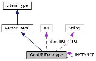
Collaboration diagram for GeoURIDatatype:
Public Member Functions | |
| Geometry | read (String geometryLiteral) |
| String | unparse (Geometry geom) |
Static Public Attributes | |
| static final String | URI = POSTGIS.NAMESPACE+POSTGIS.GeoURI |
| The default WKT type URI. More... | |
| static final GeoURIDatatype | INSTANCE = new GeoURIDatatype() |
| A static instance of WKTDatatype. More... | |
| static final IRI | LiteralIRI =SimpleValueFactory.getInstance().createIRI(POSTGIS.NAMESPACE+POSTGIS.GeoURI) |
Member Function Documentation
◆ read()
| Geometry read | ( | String | geometryLiteral | ) |
Reimplemented from VectorLiteral.
◆ unparse()
| String unparse | ( | Geometry | geom | ) |
Reimplemented from VectorLiteral.
Member Data Documentation
◆ INSTANCE
|
static |
A static instance of WKTDatatype.
Referenced by LiteralRegistry.LiteralRegistry().
◆ LiteralIRI
|
static |
◆ URI
|
static |
The default WKT type URI.
Referenced by LiteralRegistry.LiteralRegistry().
