4

GeoLD2022

5th International Workshop on Geospatial Linked Data at ESWC 2022

Call for Papers   Submission   Committee

Important Dates

Submission deadline:

March 6th, 2022 - 23:59 AoE Timezone
Extended: March 15th, 2022 - 23:59 AoE Timezone

Notification of acceptance:

April 4th, 2022 - 23:59 AoE Timezone
April 15th, 2022 – 23:59 AoE Timezone

Camera-ready version due:

April 15th, 2022 – 23:59 AoE Timezone
April 30th, 2022 – 23:59 AoE Timezone

Workshop Date:

May 30th, 2022

“When we see the power of integrating geospatial data with other data, that’s when we see real potential.”

Nadine Alameh, chief executive officer, Open Geospatial Consortium (The Economist Intelligence Unit)

Call for Papers and topics

Geospatial data is vital for both traditional applications like navigation, logistics, and tourism and emerging areas like autonomous vehicles, smart buildings and GIS on demand. Spatial linked data has recently transitioned from experimental prototypes to national infrastructure. However the next generation of spatial knowledge graphs will integrate multiple spatial datasets with the large number of general datasets that contain some geospatial references (e.g., DBpedia, Wikidata). This integration, either on the public Web or within organizations has immense socio-economic as well as academic benefits. The upsurge in Linked data related presentations in the recent Eurogeographics data quality workshop shows the deep interest in Geospatial Linked Data (GLD) in national mapping agencies. GLD enables a web-based, interoperable geospatial infrastructure. This is especially relevant for delivering the INSPIRE directive in Europe. Moreover, geospatial information systems benefit from Linked Data principles in building the next generation of spatial data applications e.g., federated smart buildings, self-piloted vehicles, delivery drones or automated local authority services.

This workshop invites papers covering the challenges and solutions for handling with GLD, especially for building high quality, adaptable, geospatial infrastructures and next-generation spatial applications. We aim to demonstrate the latest approaches and implementations and to discuss the solutions to challenges and issues arising from research and industrial organizations.
Interoperability and Integration

  • Geospatial Linked Data vocabularies and standards (GeoSPARQL, INSPIRE, W3C, OGC)
  • Extraction/transformation of Geospatial Linked Data from native geospatial data sources
  • Integration (schema mapping, interlinking, fusion) techniques for Geospatial RDF Data
  • Enrichment, quality and evolution of Linked Data with Geospatial information
  • Machine Learning improving Geospatial Linked Data processing

Big Geospatial Data Management

  • Distributed solutions for Geospatial Linked Data management (storing, querying, mapping)
  • Algorithms and tools for large scale, scalable Geospatial Linked Data management
  • Efficient Indexing and Querying of Geospatial Linked Data
  • Geospatial-specific Reasoning on RDF Data
  • Ranking techniques on querying Geospatial RDF Data
  • Advanced querying capabilities on Geospatial RDF Data

Utilization of Geospatial Linked Data

  • Benchmarking of Geospatial Linked Data applications
  • Geospatial Linked Data in social web platforms and applications
  • Visualization models/interfaces for browsing/authoring/querying Geospatial Linked Data
  • Real world applications/use cases/paradigms using Geospatial Linked Data
  • Evaluation/comparison of tools/libraries/frameworks for Geospatial Linked Data

Submission instructions

All papers must be original and not simultaneously submitted to another journal or conference. The following paper categories are welcome:​​​​​​​

  • Long papers (up to 12 pages): Presenting novel scientific research pertaining to geospatial Linked Data.
  • Short papers (up to 6 pages): Position papers, System, Library, API and Dataset descriptions, relevant to the topics of interest.
  • Demo/Tutorial papers (up to 4 pages): Describe a demo or hands-on tutorial of a tool on the workshop topics.

Submissions must be in English formatted in the style CEURART of CEUR-WS (single column). For details on the CEUR-WS CEURART style, see CEUR-WS Author Instructions. We accept PDF submissions.
Papers must be submitted through the EasyChair system no later than midnight March 6th, 2022, Anywhere on Earth TimeZone. Submissions will be reviewed by members of the workshop program committee. Papers will be evaluated according to their significance, originality, technical content, style, clarity, and relevance to the workshop.
The complete set of papers will be published with the CEUR Workshop Proceedings (CEUR-WS.org) and listed by the DBLP.

KEYNOTE

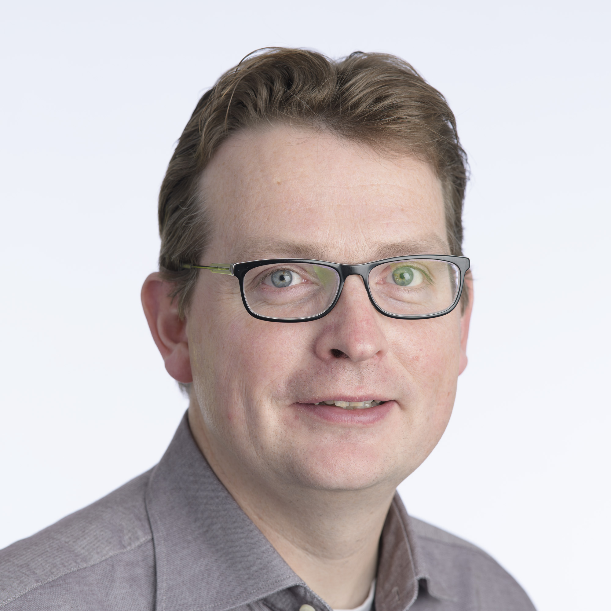
We are happy to announce that our keynote speaker will be Erwin Folmer.
Erwin Folmer received the M.Sc. degree in industrial engineering and management in 1999 and the Ph.D. degree on the thesis “Quality of Semantic Standards” in 2012, both from the University of Twente, the Netherlands. He worked for TNO (Netherlands Applied Research Institute) since 2001, and became a Senior Scientist on the topic of interoperability and standards. From 2009, he joined (part-time) the University of Twente to start a Ph.D. research on the standardization topic, while continuing the work for TNO. From 2013 to 2014, he was a Visiting Researcher with the ERCIS/University of Munster, in Germany. From 2015 onwards, he joined the Kadaster, continuing the work on standards and interoperability with special focus on spatial data platforms. Nowadays he is leading the Kadaster Data Science Team. He is also chairing the Platform Linked Data Netherlands; an open community to support the Linked Data adoption.

KeyNote Title: Lessons Learned from Building the Largest Spatial Knowledge Graph in the Netherlands
Abstract: Kadaster, the Dutch National Land Registry and Mapping Agency, has been actively publishing their base registries as linked (open) spatial data for several years. To date, a number of these base registers as well as a number of external datasets have been successfully published as linked data and are publicly available. Increasing demand for linked data products and the availability of new linked data technologies have highlighted the need for a new, innovative approach to linked data publication within the organisation in the interest of reducing the time and costs associated with said publication. Both the modelling and publication architecture form part of Kadaster’s larger vision for the development of the Kadaster Knowledge Graph through the integration of the various linked datasets. In this presentation Erwin will focus on the lessons learned from building (probably) one of the largest spatial knowledge graphs in the world. He might also want to challenge the participants by talking about his greatest frustration: GeoSPARQL.
Slides

AGENDA

The workshop takes place on 30th May

Final agenda:
Time Agenda item
09:15-09:30 Workshop welcome and introduction by organizers
09:30-10:30 Paper presentations: Semantification and query languages
  • Maria Despoina Siampou, Nikolaos Karalis and Manolis Koubarakis: Extending YAGO4 Knowledge Graph with Geospatial Knowledge
  • David Habgood, Timo Homburg, Nicholas John Car and Milos Jovanovik: Implementation and Compliance Benchmarking of a DGGS-enabled, GeoSPARQL-aware, Triplestore
10:30-10:45 Coffee break
10:45-11:15 Paper presentation:
  • Vasilis Kopsachilis, Nikos Vachtsavanis and Michail Vaitis: Semi-automatic semantification of institutional spatial datasets
11:15-11:45 Demo paper presentation:
  • Vasilis Kopsachilis and Michail Vaitis: GeoLOD Demo: A catalog and recommender for spatial linked data
11:45-12:30 Invited talk:
  • Haonan Qiu: Ontology-Based Modelling and Processing of Maps for Autonomous Vehicles
12:30-14:00 Lunch break
14:00-15:30 Paper presentations: Navigation, Trajectory Tracking and Federated Querying
  • Damien Graux: Navigating the Earth with pure SPARQL
  • Efthymia Moraitou, Sotirios Angelis, Konstantinos Kotis, George Caridakis, Ermioni Eirini Papadopoulou and Nikolaos Soulakellis: Towards Engineering Drones’ Semantic Trajectories as Knowledge Graphs
  • Antonis Troumpoukis, Stasinos Konstantopoulos and Nefeli Prokopaki Kostopoulou: A Geospatial Join Optimization for Federated GeoSPARQL querying
15:30-16:00 Coffee break
16:00-17.15 Keynote Presentation and discussion "The future of (geo)spatial linked data in research and practice"
17.15-17.30 Closing

PROCEEDINGS

Proceedings

Vasilis Kopsachilis, Nikos Vachtsavanis and Michail Vaitis
Semi-automatic semantification of institutional spatial datasets
Slides

Vasilis Kopsachilis and Michail Vaitis
GeoLOD Demo: A catalog and recommender for spatial linked data
Slides

Antonis Troumpoukis, Stasinos Konstantopoulos and Nefeli Prokopaki Kostopoulou
A Geospatial Join Optimization for Federated GeoSPARQL querying
Slides

Efthymia Moraitou, Sotirios Angelis, Konstantinos Kotis, George Caridakis, Ermioni Eirini Papadopoulou and Nikolaos Soulakellis
Towards Engineering Drones’ Semantic Trajectories as Knowledge Graphs
Slides

Maria Despoina Siampou, Nikolaos Karalis and Manolis Koubarakis
Extending YAGO4 Knowledge Graph with Geospatial Knowledge
Slides

Damien Graux
Navigating the Earth with pure SPARQL
Slides

David Habgood, Timo Homburg, Nicholas John Car and Milos Jovanovik
Implementation and Compliance Benchmarking of a DGGS-enabled, GeoSPARQL-aware, Triplestore
Slides

Organizing Committee

The organizing committee consists of the following members:

Timo Homburg (i3mainz -- Institute for Spatial Information Surveying Technology, Mainz University Of Applied Sciences, Germany)

Contact

Dr. Beyza Yaman (ADAPT Centre, Trinity College Dublin, Ireland)

Dr. Mohamed Ahmed Sherif (University of Paderborn, Germany)

Assoc. Prof. Dr. Armin Haller (Australian National University, Australia)

Dr. Konstantina Bareta, Marine Traffic, Greece
Dr. Manolis Koubarakis, National and Kapodistrian University of Athens, Greece
Dr. Sergio José Rodríguez Méndez, Australian National University, Australia
Dr. Milos Jovanovik, Ss. Cyril and Methodius University in Skopje, N. Macedonia
Dr. Mirko Spasić, OpenLink Software, UK
Nikolaos Karalis, DICE research group, University of Paderborn, Germany
Dr. Nicholas Car, Surround Australia, Australia
Dr. Giorgos Giannopoulous, IMIS, the Institute for the Management of Information Systems, Athens, Greece
Dr. Erwin Folmer Kadaster, University of Twente, The Netherlands
Dr. Pasquale Di Donato, swisstopo/COGIS, Switzerland
Dr. Gobe Hobona - Open Geospatial Consortium, Wayland, MA, USA
Dr. Rob Brennan, ADAPT Centre, Dublin City University, Ireland
Adrian Wilke, DICE research group, University of Paderborn, Germany
Dr. rer. nat. Stefan Heindorf, DICE research group, University of Paderborn, Germany
Abdullah Fathi Ahmed, DICE research group, University of Paderborn, Germany
Dr. Cassia Trojahn, University of Toulouse, France
Haonan Qiu, BMW Car IT, Ulm, Germany
Dr. Benedicte Bucher, University Gustave Eiffel, IGN, EuroSDR

Copyright © The GeoLD2022 Organising Committee
Template By WowThemes.Net
Website developed by S. Pestryakova